East Harlem Polder
Re-Imagine FDR Drive as Climate Infrastructure
2023–2024 · Urban ResearchOSE
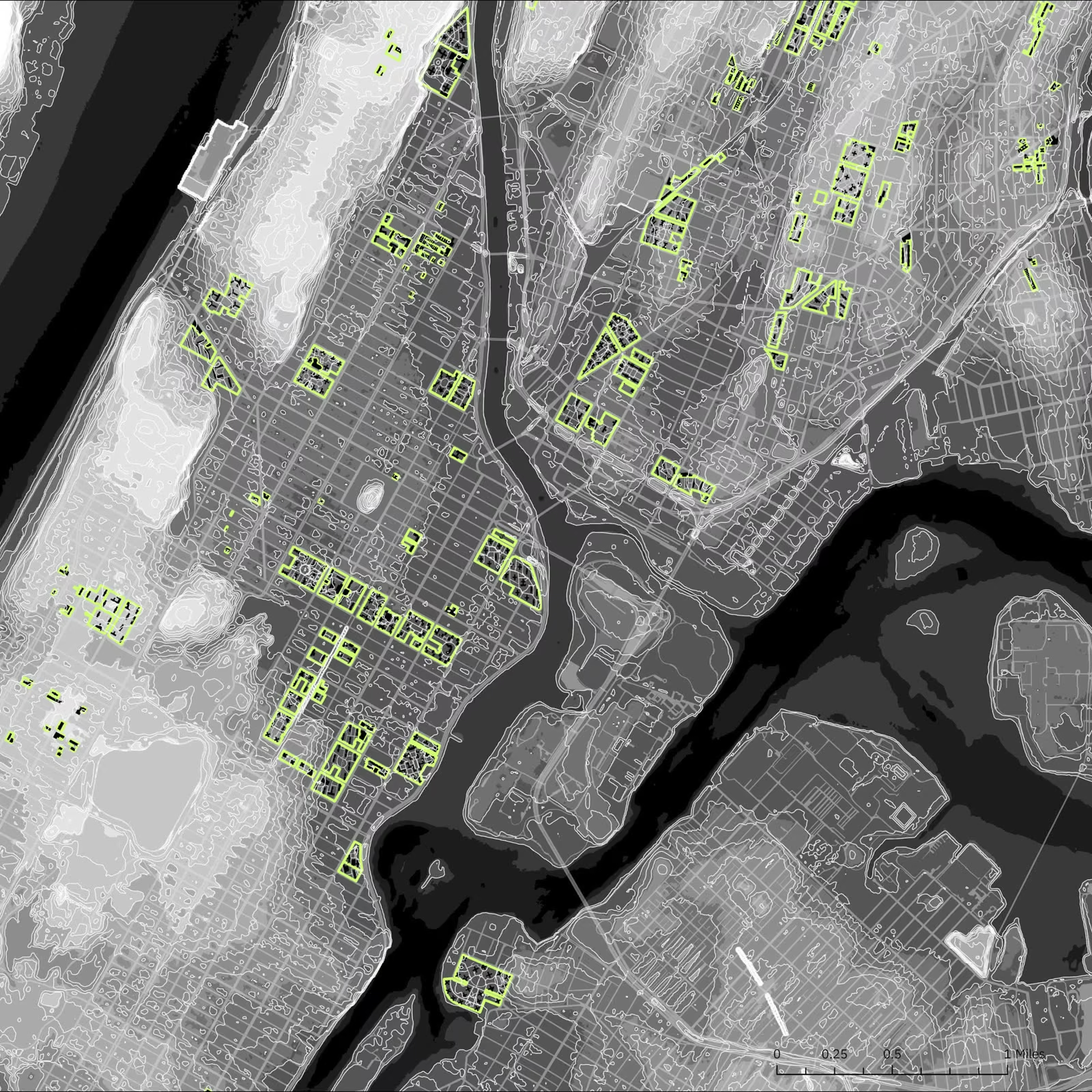
In the 1865 Viele Map of Manhattan, Harlem Creek flowed through East Harlem, sustaining a vibrant marsh estuary ecology. Uncritical urban development culverted the creek and drained the marsh — erasing the natural water management capacity that once defined this landscape and sowing the seeds of the topographic injustices visible today.
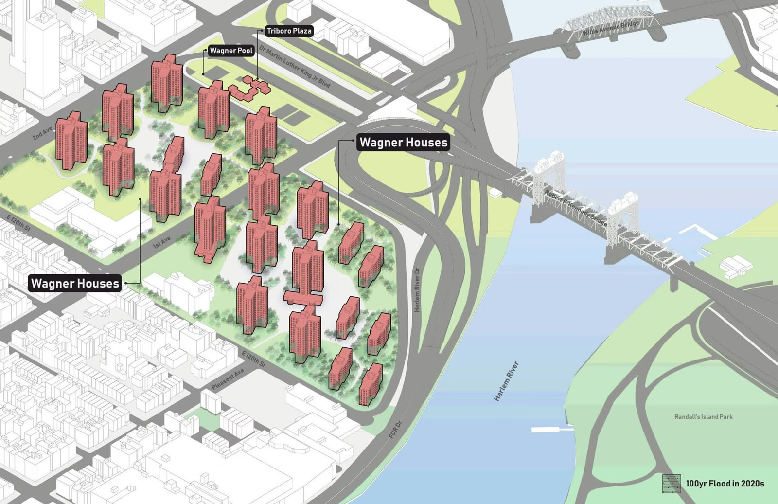
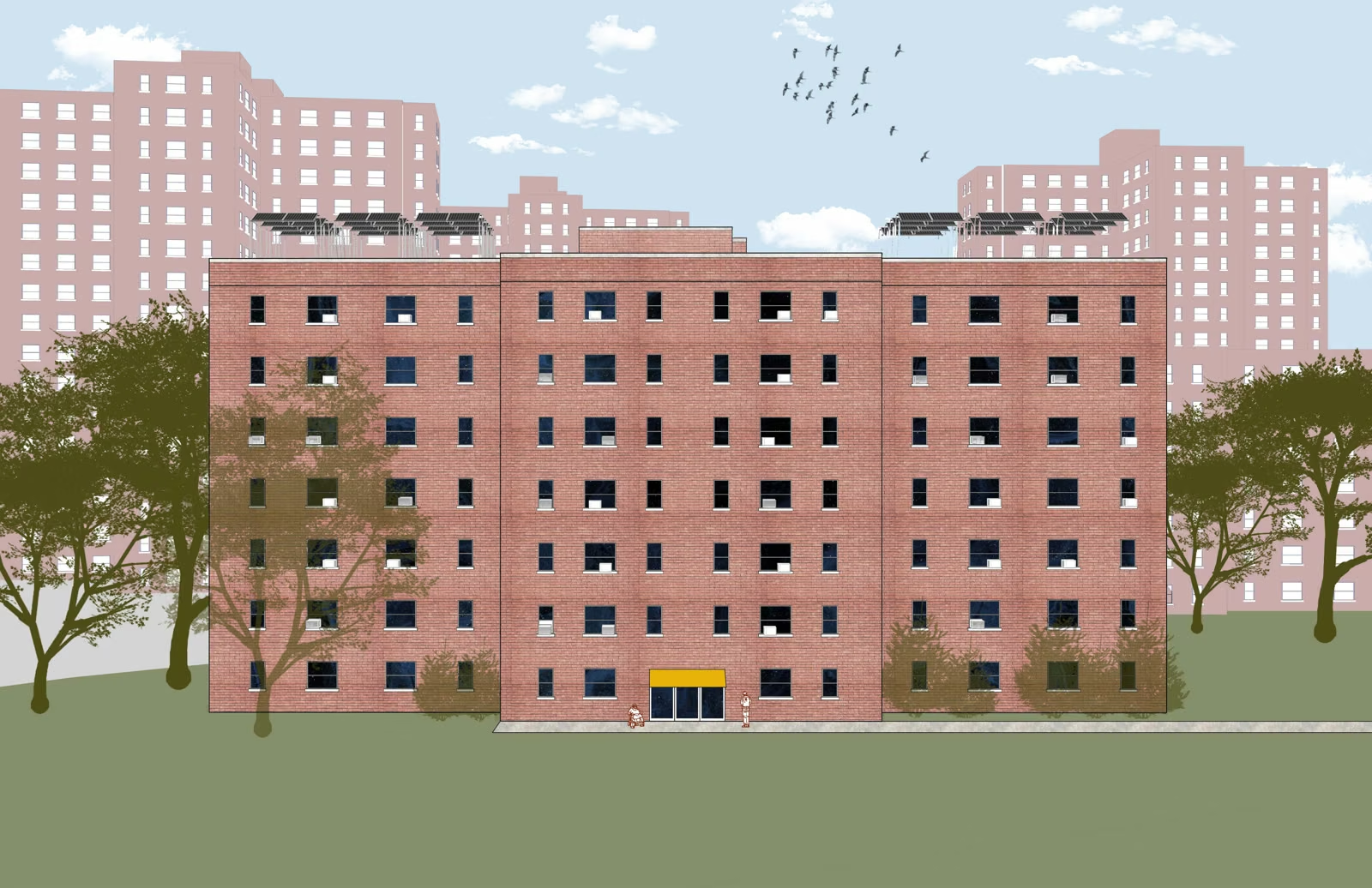
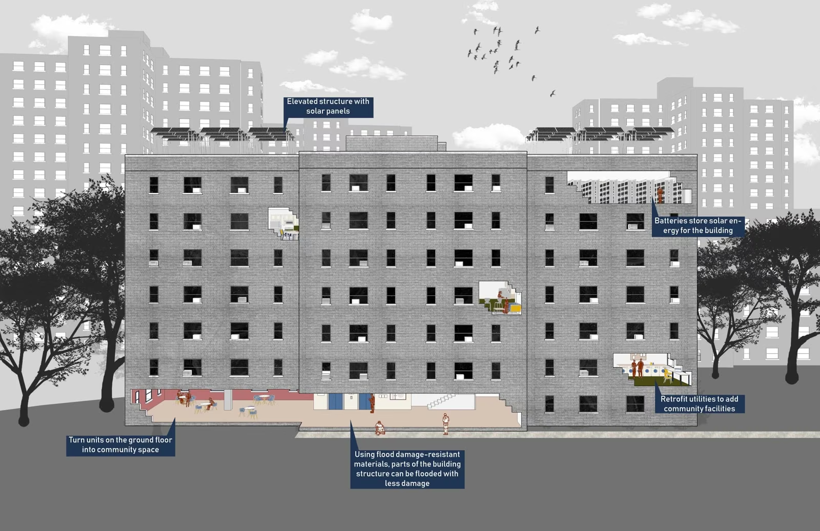
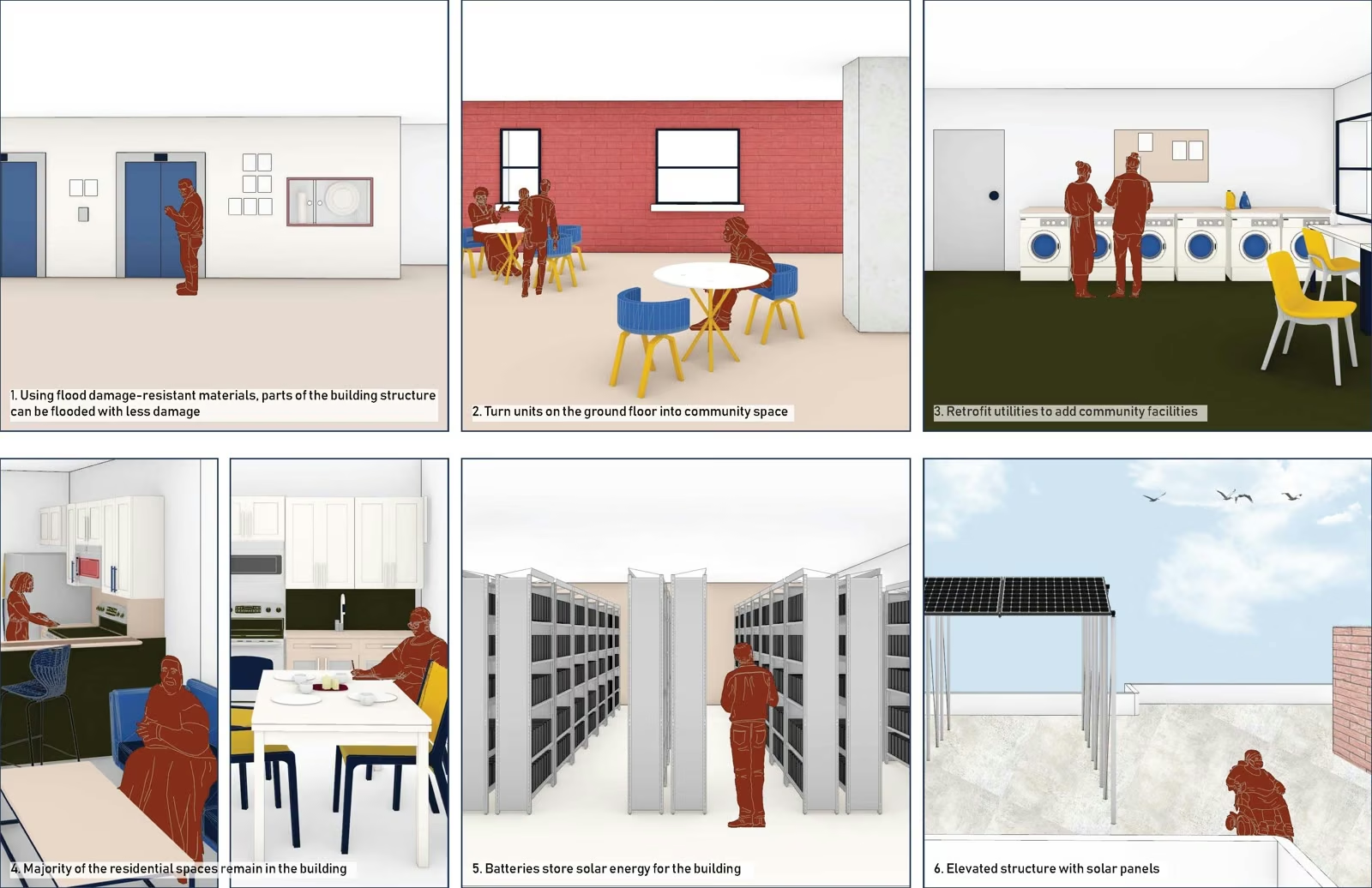
East Harlem bears these injustices unevenly. The neighborhood is home to numerous vulnerable households, including residents of NYC Housing Authority (NYCHA) campuses. On the infamous NYC redlining map, East Harlem was designated “D ‘Hazardous’” — the lowest grade in the system — a classification that systematically blocked resource investment and left the community without the infrastructure needed to build climate resilience.
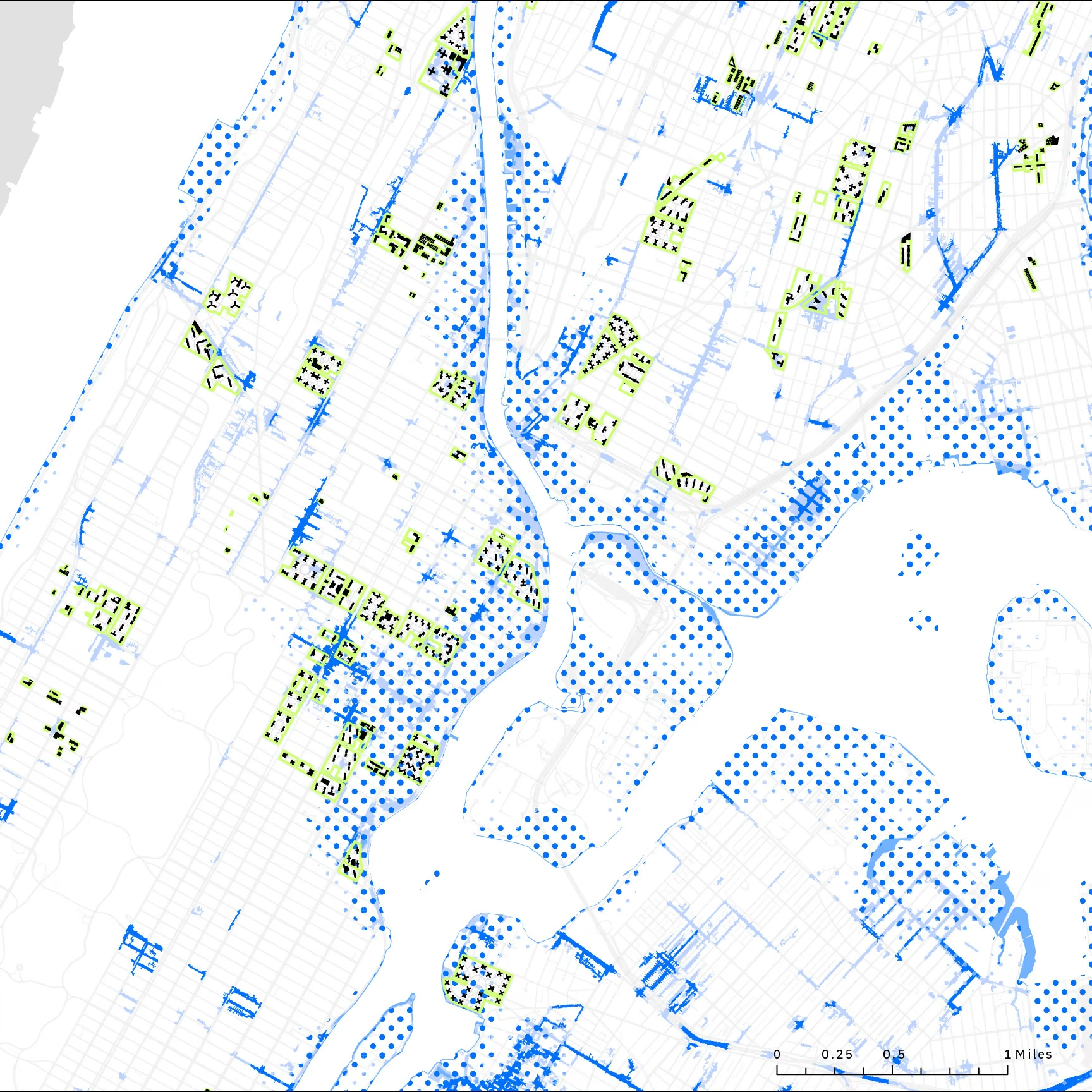
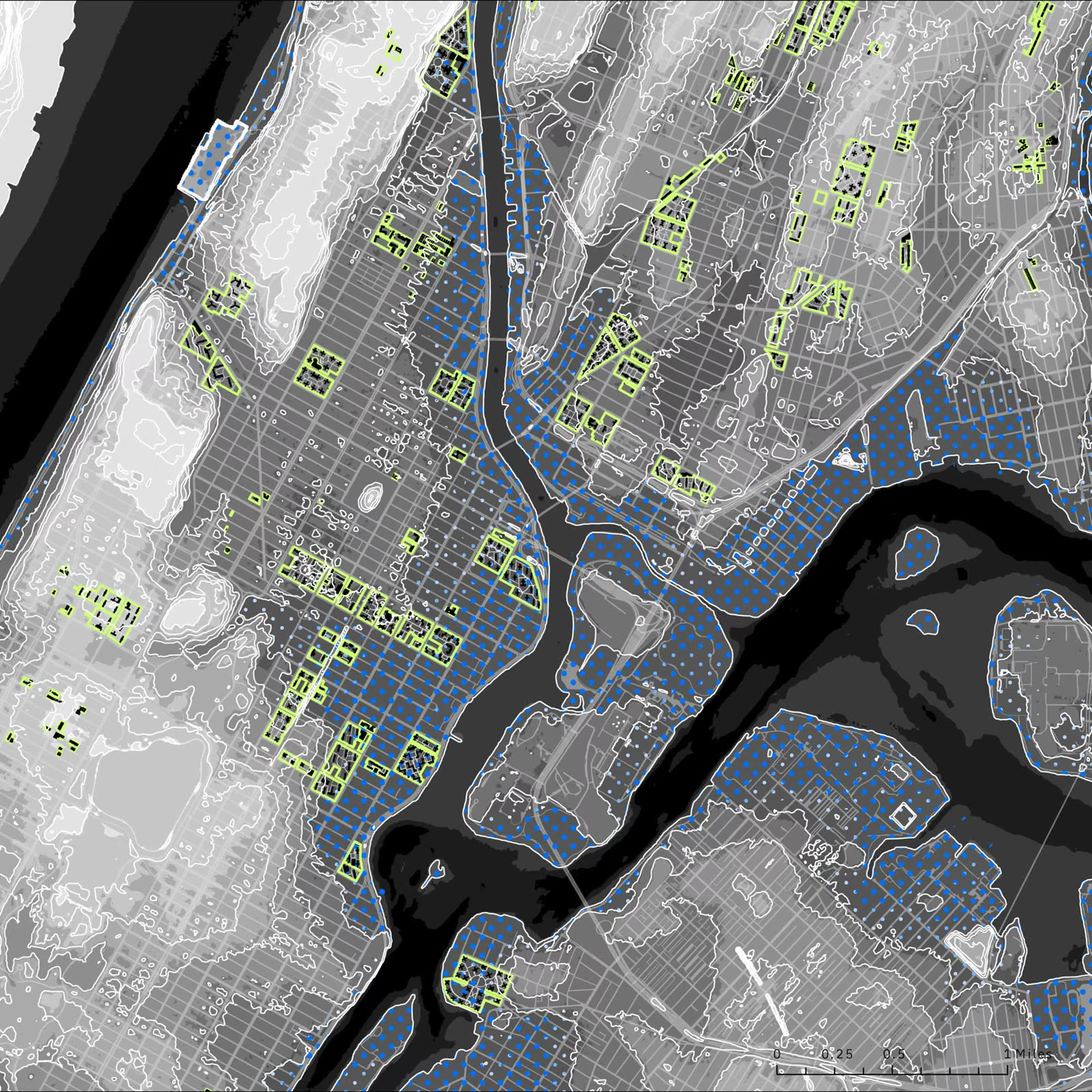
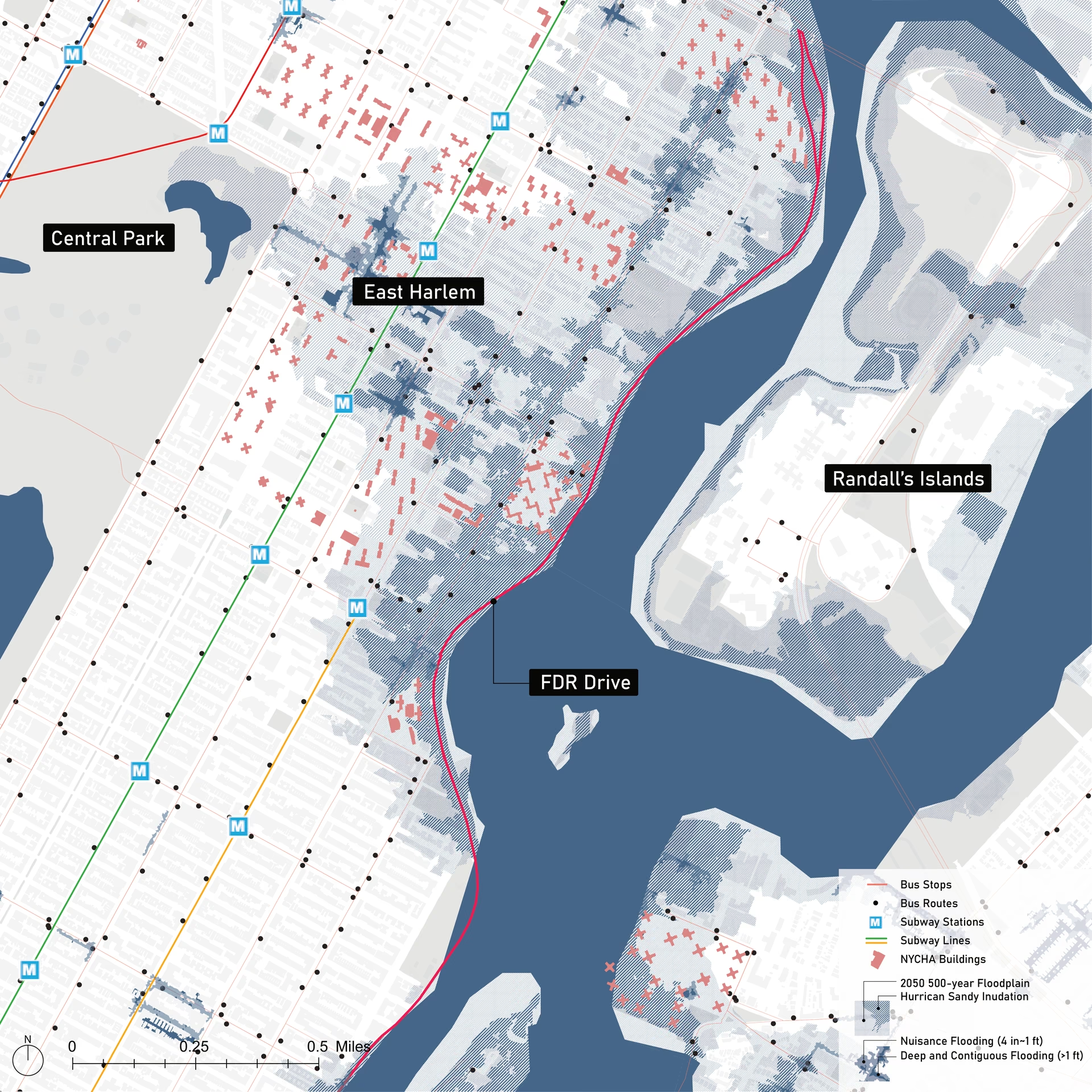
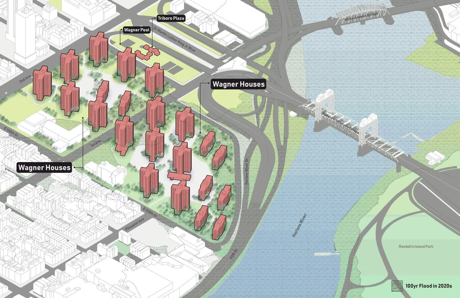
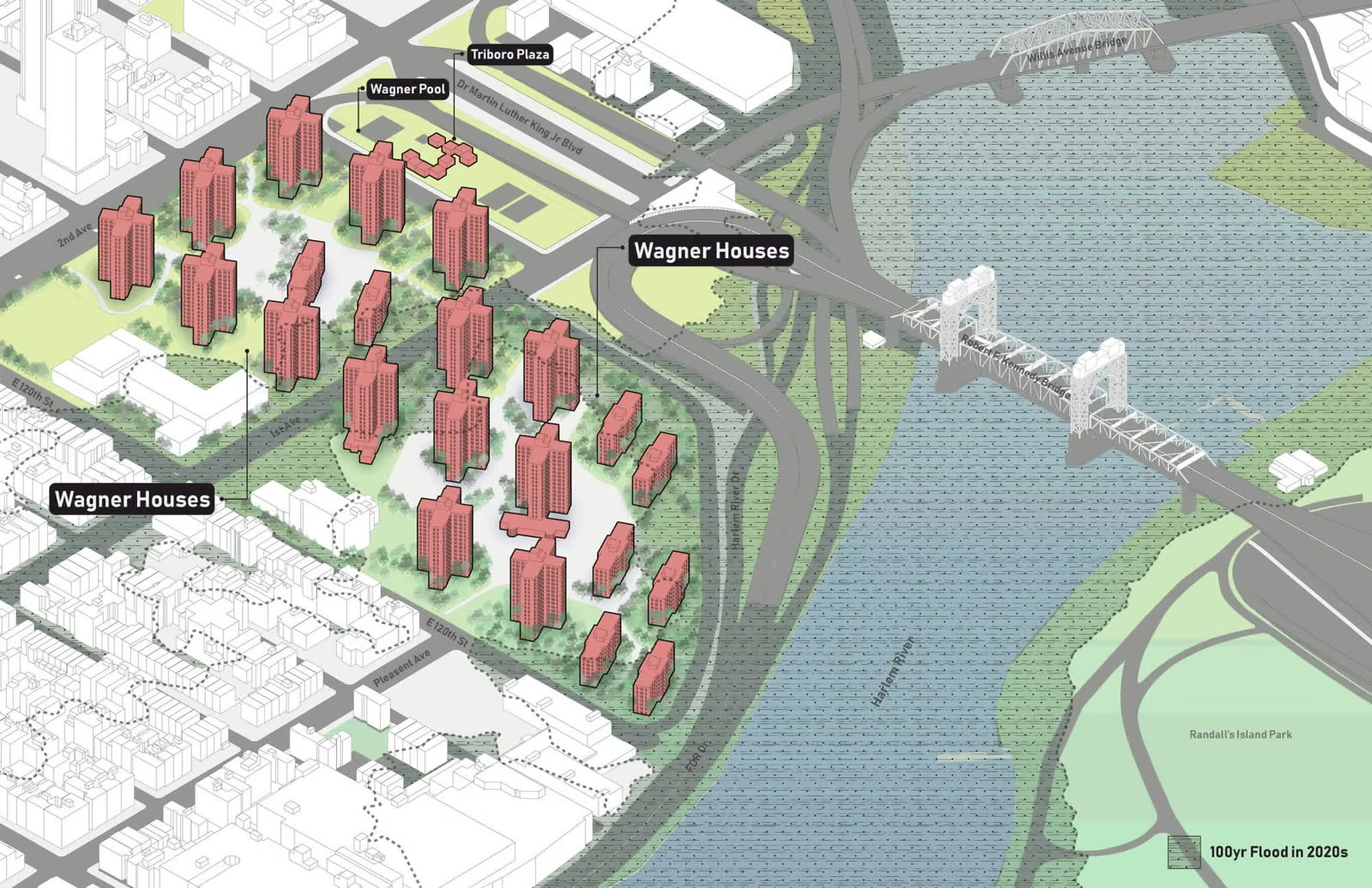
Today, East Harlem faces two compounding flood risks: inland flooding, driven by heavy rainfall overwhelming an outdated drainage system and the near-absence of permeable pavement; and river flooding from the Harlem River, a threat expected to intensify as sea levels rise and extreme weather events become more frequent.
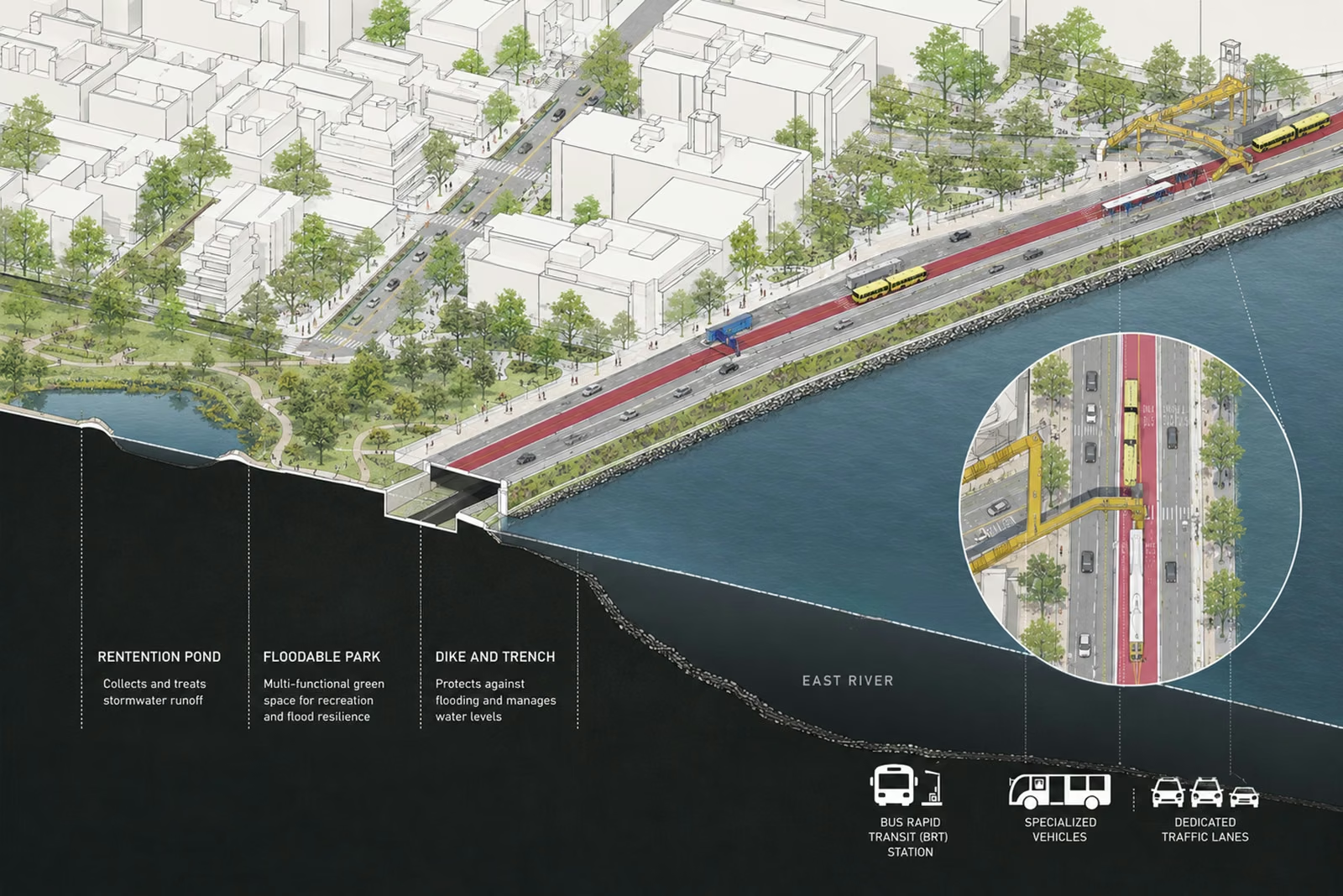
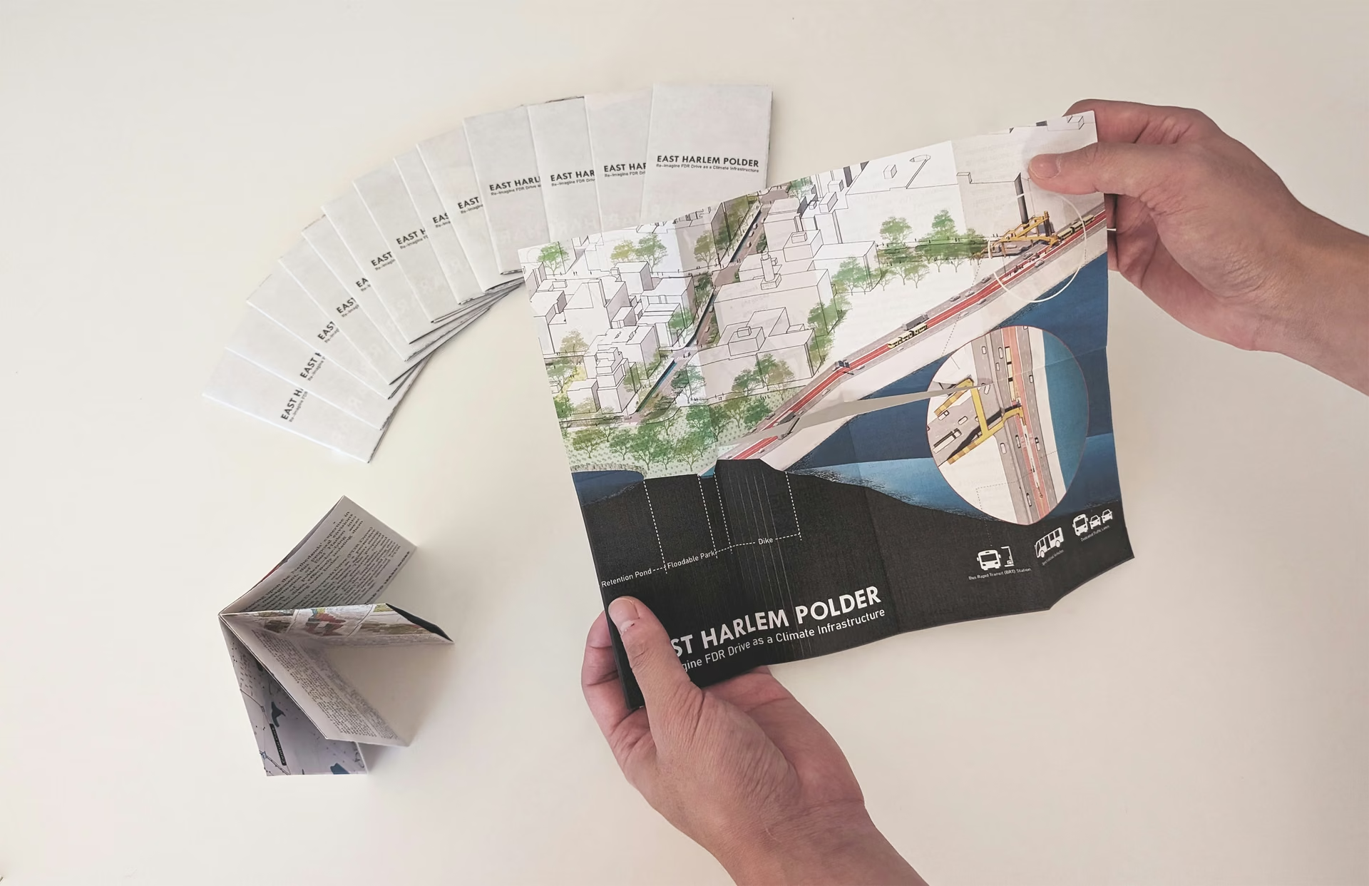
Drawing on the Netherlands' expertise in water management, this proposal envisions transforming East Harlem into a network of polders — low-lying areas enclosed by dikes that isolate them from surrounding water bodies. The Franklin D. Roosevelt Drive (FDR Drive) would be elevated to serve as a protective dike against storm surge and sea-level rise. Beyond flood protection, an elevated FDR Drive creates opportunities for bus rapid transit (BRT), while street ditches collect excess rainwater and integrated pumps and floodgates manage drainage from within.